The Log Driver’s Waltz
AN interview with Eric Betteridge and Jen ADAMS, creators of the route
Photo courtesy of Matt Bawtinheimer.
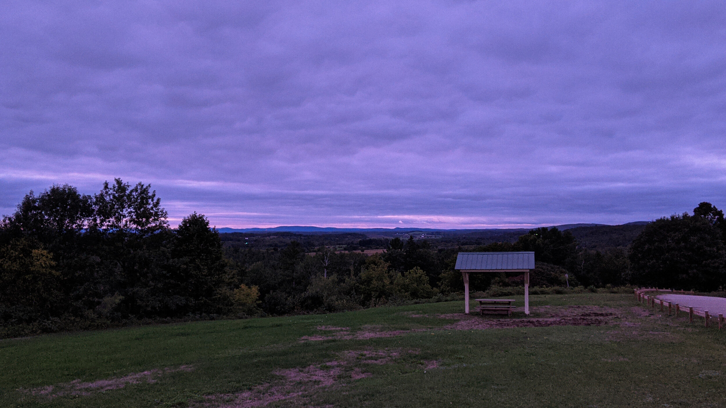
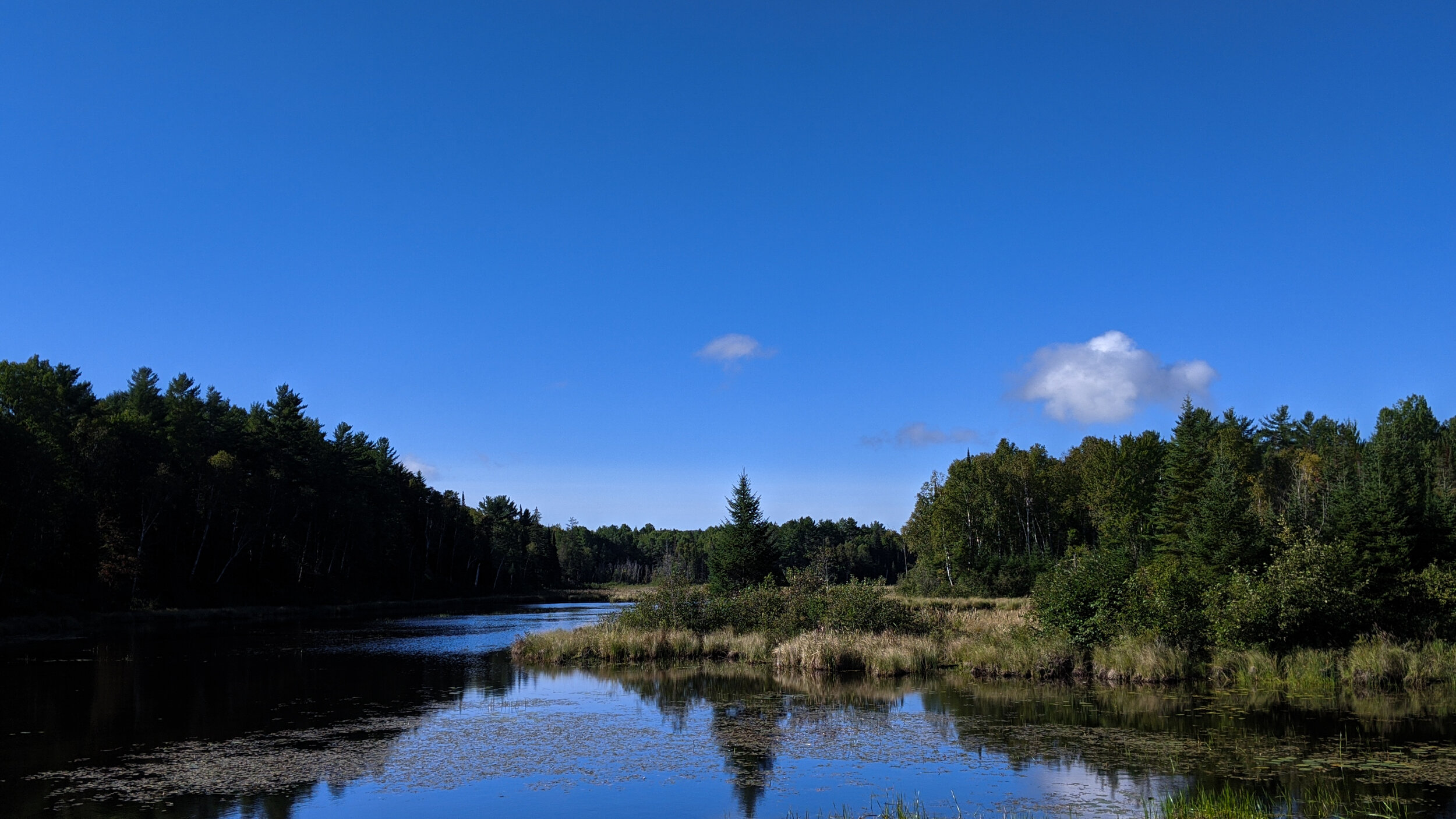
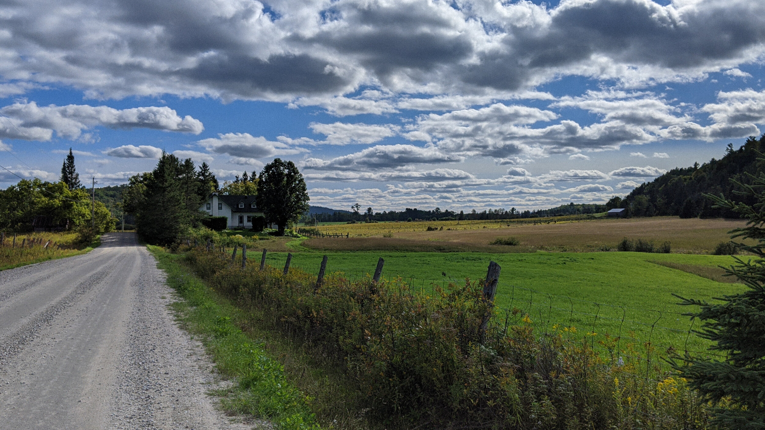
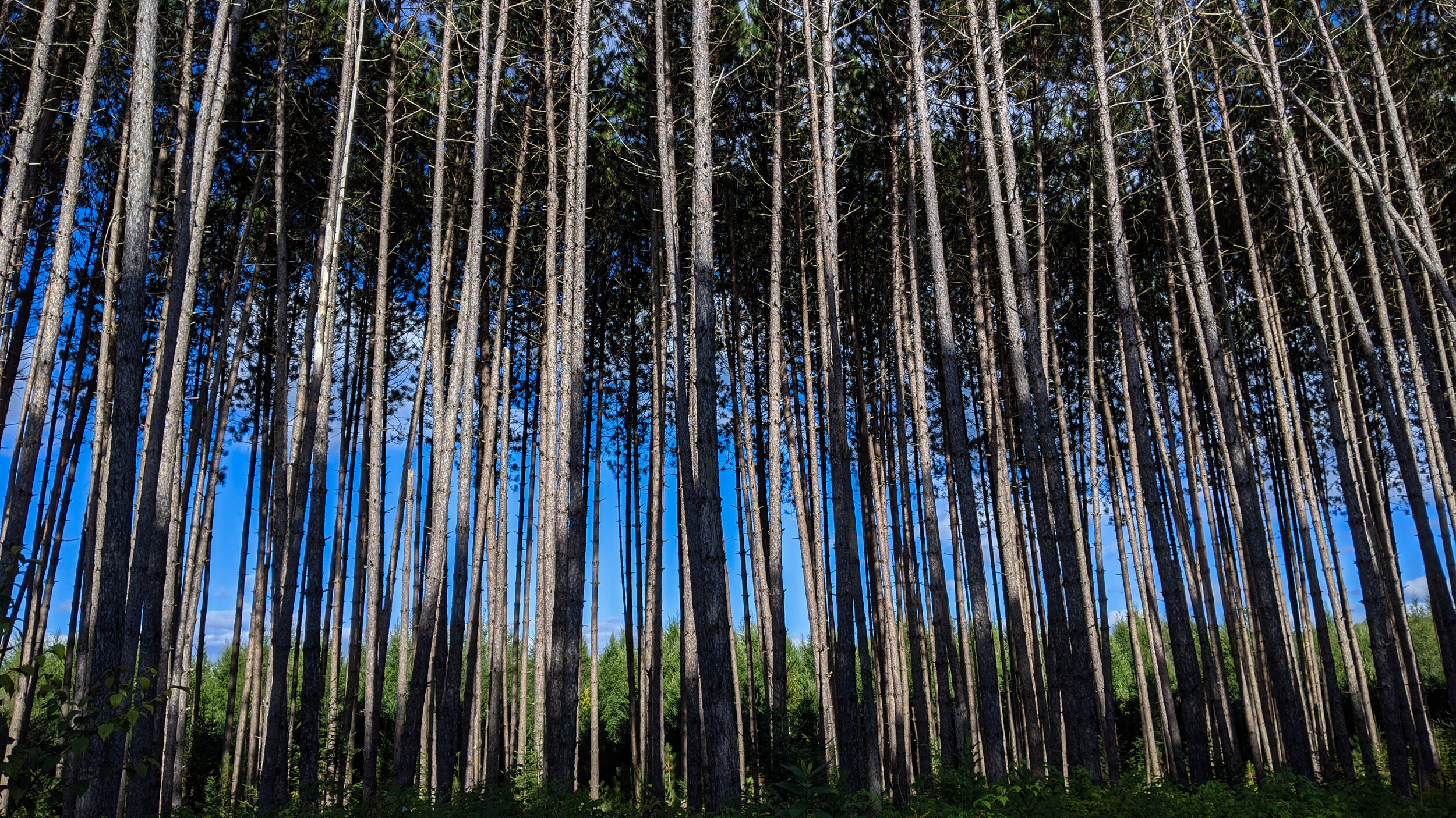
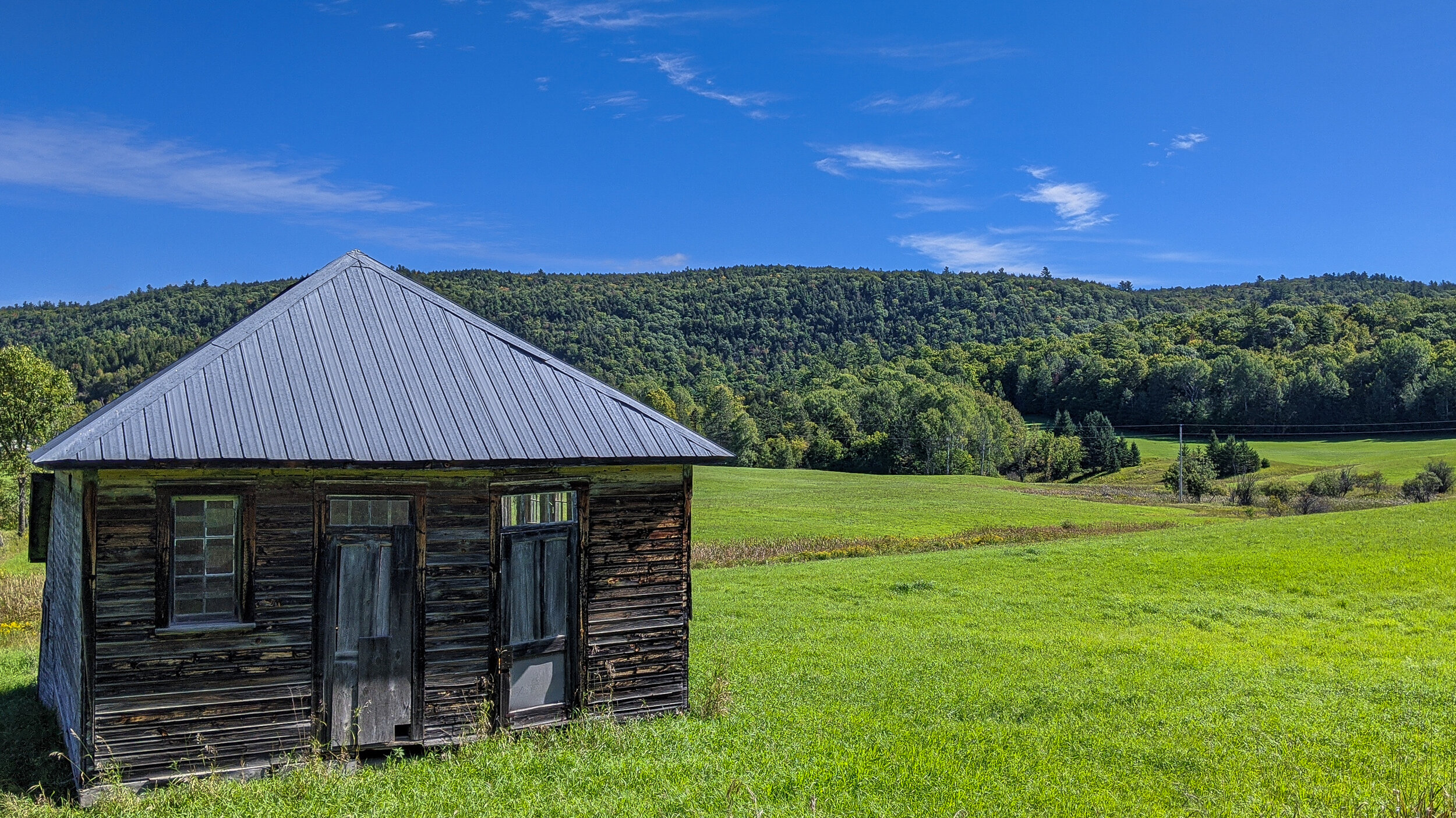
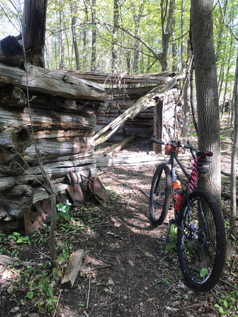
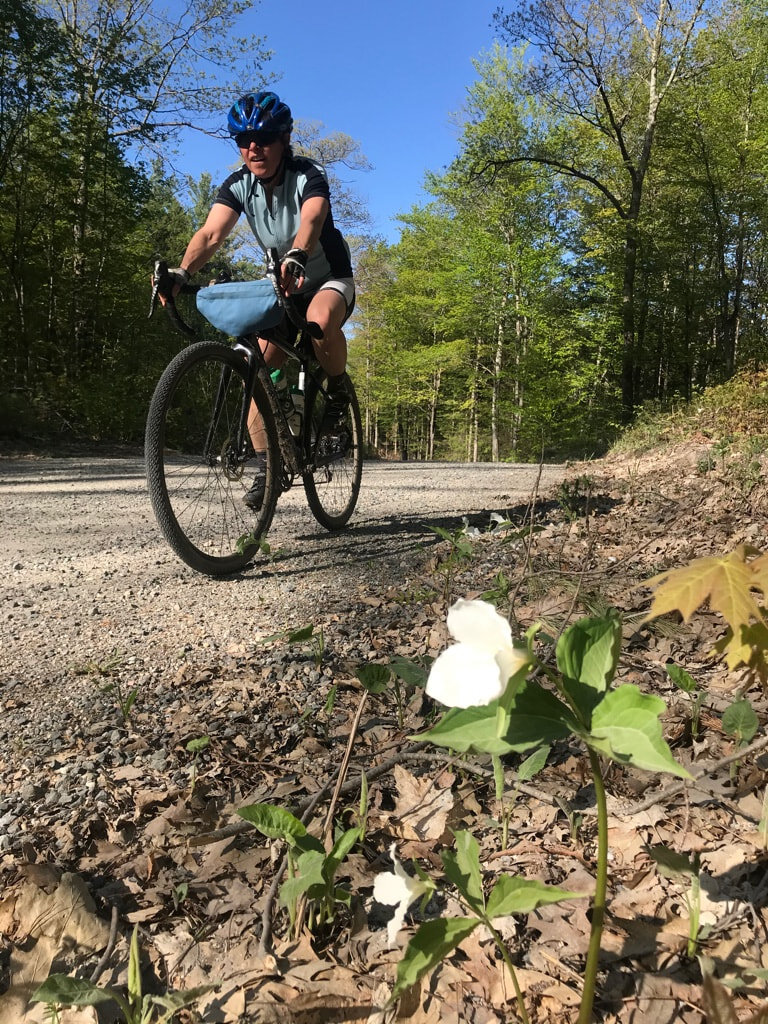
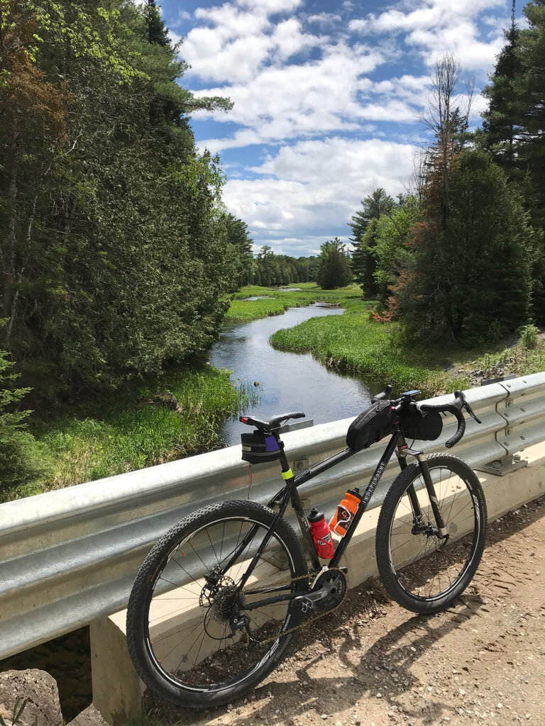
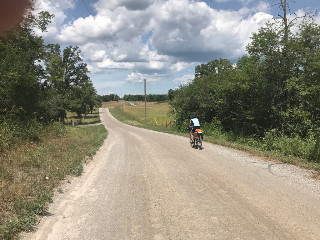
The Log Driver’s Waltz is a 800 kilometre bikepacking-oriented loop consisting of about 80 percent unpaved riding surfaces that weaves in a winning mix of lonely tree-lined gravel roads, rowdy long forgotten unmaintained roads, lovely rail trail, idyllic riverside roads, lake-hugging single lane paths and forested trails in the Ottawa Valley and Outaouais regions of eastern Ontario and western Quebec. All of which beckon to be conquered on fatter tires. Eric and JEn have family roots on both sides of the Ottawa River they have connections to many of the communities, large and small, that The Log Driver’s Waltz passes through. They are excited to share this landscape and its history with riders from far and near.
MK: What was your first bikepacking or touring experience like?
Eric: Preface: In 1982 five of us rode from Mont Ste Hilaire QC to St Johnsbury VT on Raleigh and Peugeot 10 speeds with flimsy racks, $25 pannier sets, and one small water bottle each. Helmets were the first generation Bell “coolers” and our tent weighed almost 9 pounds. We had a riot. Slept rough a few times. Climbed all the hills without walking (we were young and tough LOL) and survived the downhills despite our old-school dimpled steel rims and whippy frames. One night the local volunteer fire department showed up on the edge of the gully we were camped in because somebody had seen the smoke from our fire. It was a memorable trip and was the first time I packed a bike and went off for a multi-day adventure.
Eric: I think that my first bike packing experience would’ve been in New Zealand in the late 80s. After riding across Canada from Banff to Edmonton and then to Guelph, my friend and I rode about 5000 km in New Zealand on loaded mountain bikes taking many small roads and trails (tracks as they are called there). Of note was the Heafy Track which was “opened” to mountain biking in 2018, which was about 30 years after we did it. Of course at that time mountain bikes were so new that nobody had thought to ban them on the tramping tracks in New Zealand. It involves river crossings suspension bridges and some pretty gnarly single track. It happened to be extremely muddy when we were going through there. 40 km took four days. I will say that Jim Blackburn low-riders with panniers are not ideal for that sort of trail.
Jen: In the late 80s, I put Jim Blackburn low-riders with panniers on my mountain bike and rode from Vancouver to San Francisco on a solo bike trip. It was a means of travel, not so much seeking the back roads, as finding adventure on my way to travel in Asia (without a bike). Riding the Washington, Oregon, and California coast with a bivy and my MSR stove tightly packed on my bike was pure heaven.
Jen and Eric: In the mid-1990s, Jen and I went to Prince Edward Island just before the bridge was completed and sought out roads that were closed or were no longer maintained as we circumnavigated the island.
The big difference with going off track in those days was that we relied solely on the maps we could get. Luckily in New Zealand, we were able to use topographic maps to find public right of ways and other routes that do not show up on roadmaps. I’ve always enjoyed taking the road less traveled. Seeing things that aren’t available if you are going through the countryside in a car or sticking to paved roads.
Like the other activities that we enjoy such as wilderness canoe tripping, light-weight hiking, long-distance ski touring, bikepacking has elements of hardship. While not intentionally seeking out pain or discomfort, we are willing to endure some of each to get to places under our own power and enjoy the reward of knowing that we are somewhere special.
As soon as our children could sit on the back of a tandem, we attached a couple of trailers and headed out on family trips doing fully supported camping along the way. We always consider the small roads, often unpaved, and the rail trails that did exist at the time much safer than riding on paved roads, and consequently we ended up exploring a lot of the thin lines on the map. Because we were usually starting from our house it meant that the roads within 100 or 150 km of home became quite familiar to us. As the kids got older still we started to venture even further keeping the bikes light. In those days we considered a 28C tire was a big tire. When I look back at pictures of us riding down the K and P trail or even full-on ATV trails on little thin tires I have to laugh a little bit.
Photo by Steve Smith
When the kids graduated to their own bikes we decided to go light and would often stay in motels or hotels. We called it credit card camping essentially with just our clothes on our bikes. I guess you might call it bikepacking.
Our first experience following a prescribed route using a GPS was actually on Matthew Kadey’s BT700 in the summer of 2019. We decided on a Tuesday that we would take on the route and ended up starting the route on the Saturday of the same week. We traveled very lightly with seat bags, water bottles, and small handlebar bags. In fact, the very first time that we turned on a GPS to navigate was when we met up with the route after cycling from Guelph to Saint Jacobs. It was a very different experience for us to follow somebody else’s route. We thoroughly enjoyed surrendering the navigation to a local expert.
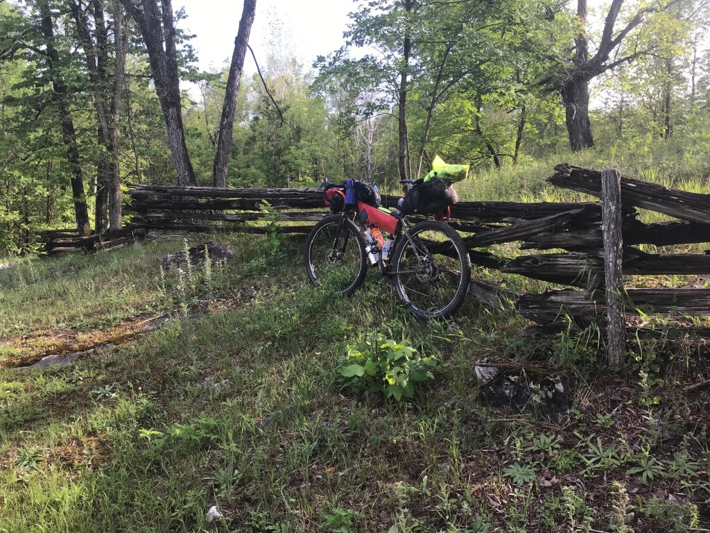
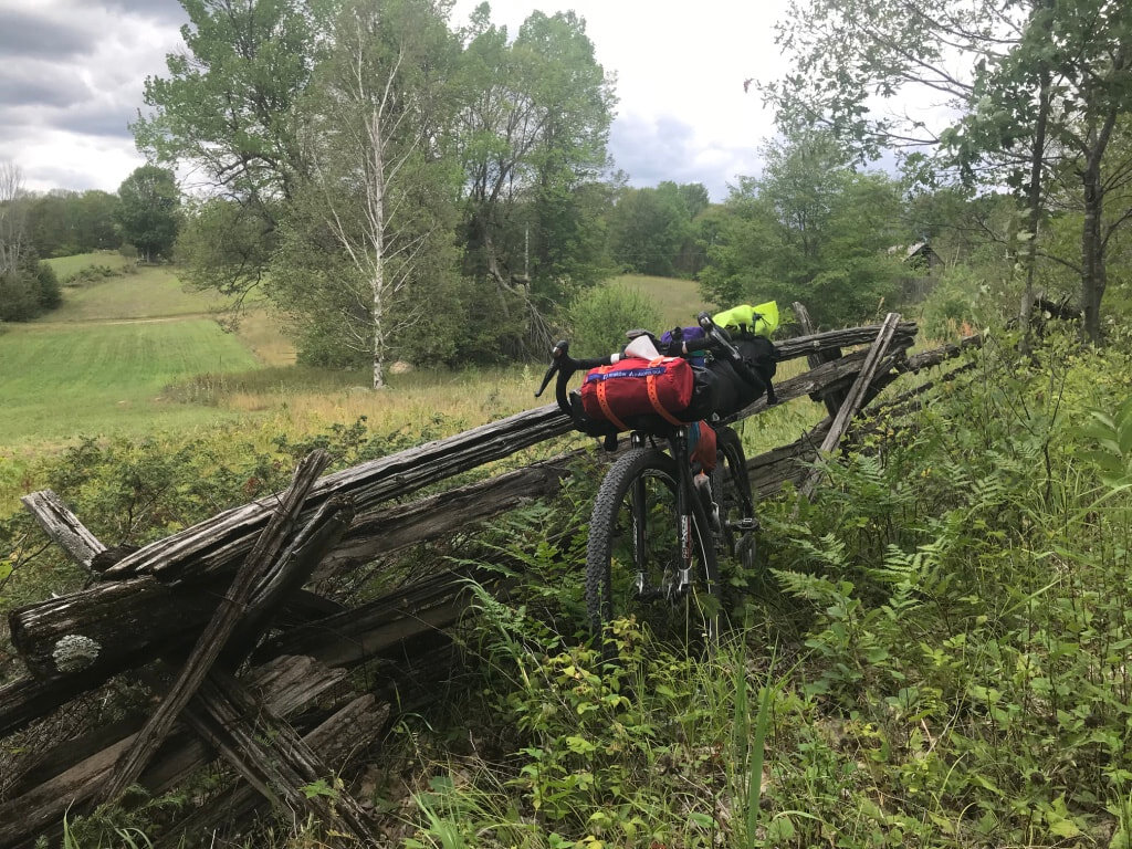
Photos courtesy of Log Driver’s Waltz
MK: Why did you feel the need to create and share this route with other cyclists? What was the spark for creating the LDW?
Eric: As we drove back from Guelph to Ottawa after the BT 700 Jen floated the idea of us developing a route in the Ottawa Valley. The backbone of the route was created by stitching together several 3-4 day routes we had done in the past. Immediately we began a thought experiment describing to each other the roads that we would include, the communities we would go through, and how we would link certain key segments to not lose some of our favourite bits of terrain.
Because of our teaching, guiding, and coaching background we have a strong desire to share our knowledge to help others learn skills that will allow them to have an enjoyable experience in the outdoors.
We both grew up in the Ottawa Valley. Jen has family on both sides of the river in Pontiac and Renfrew counties. We have used family cottages as bases to explore from and later on as stopping places on longer routes. We know that the area is spectacular for cycling and has a rich cultural history, and having just ridden the BT 700 we realized that we would be capable of planning out a route that would appeal to bikepackers and allow us to share our “local knowledge” with anyone who cared to download the GPS file.
It turns out that developing and sharing his route was also a matter of timing and circumstance. Eric had just retired from a career teaching Outdoor Education and Environmental Science and thus he had the time to devote to the project. The project was underway in the fall but nobody could have predicted that a global pandemic would lock in our houses forcing us all to apply our creative energies in home-bound settings.
Until a few summers ago, we were not aware of the extent of the route planning and sharing that was going on. Even in the past couple of years, we have noticed an increase in the use of GPS units and mapping apps. We came across the BT 700 bikepacking route by chance in Mountain Life Magazine which coincidentally had an article about our daughter who is a national team canoe-kayak slalom athlete.
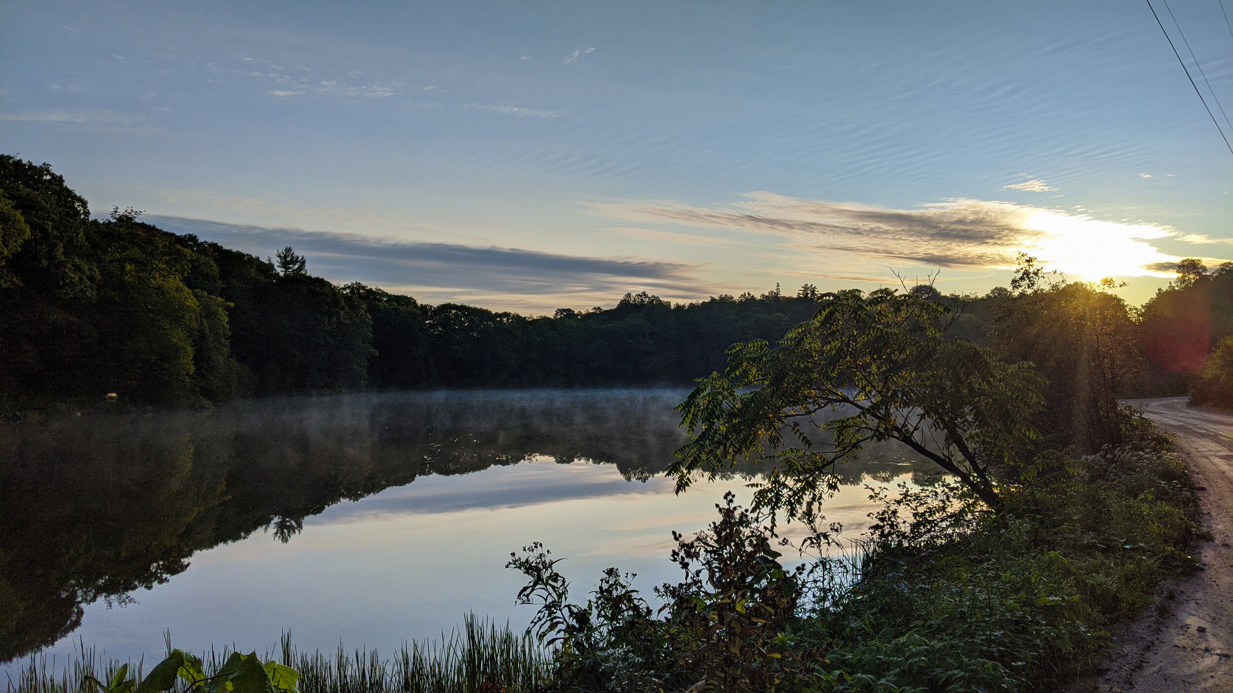
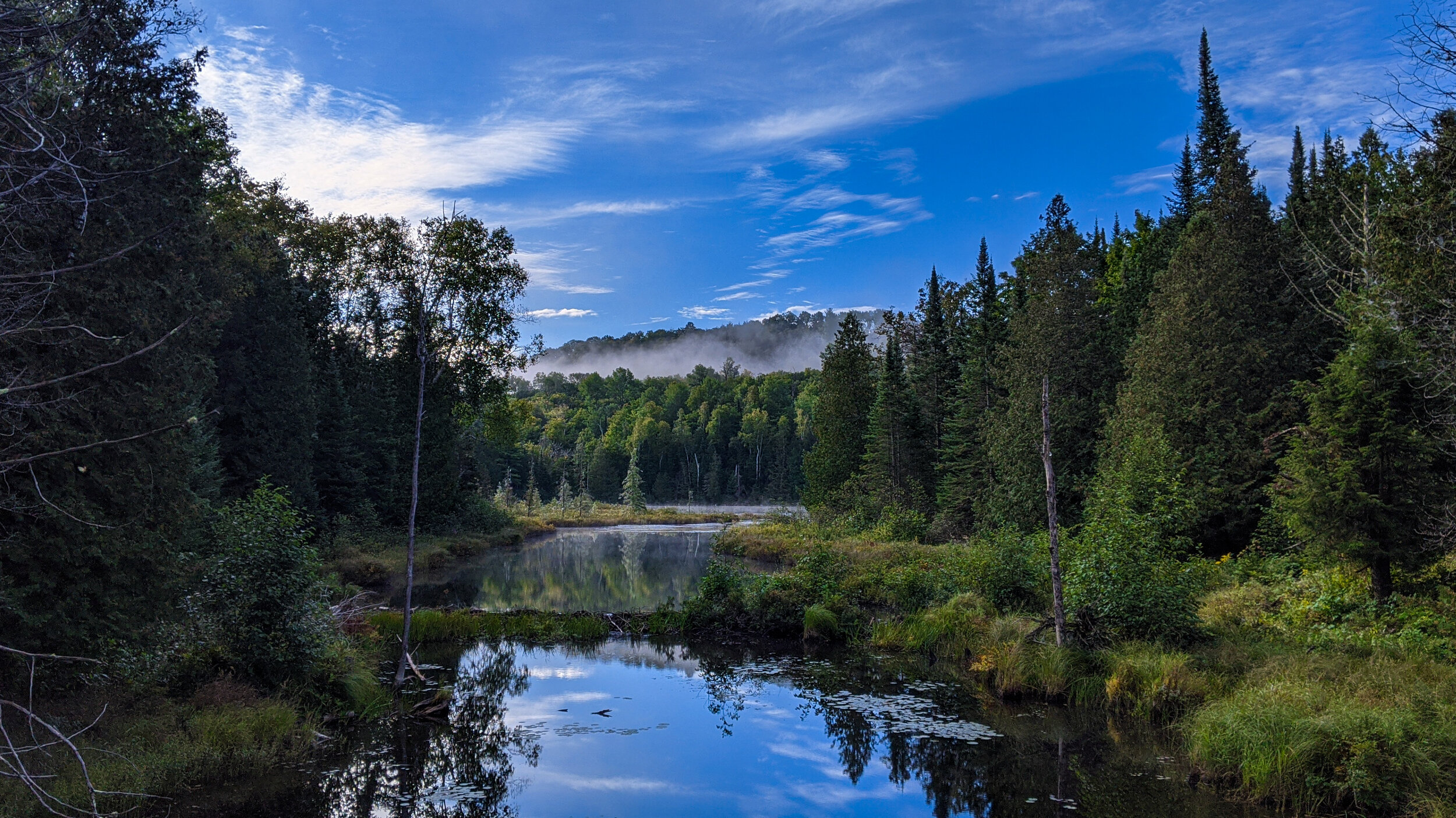
Photos courtesy of Log Driver’s Waltz
MK: Where did you come up with the name Log Driver’s Waltz?
Eric: In Lanark County, I think it was on Bathurst Line. We had been discussing route names. A bit later I found myself humming the tune to the “Log Driver’s Waltz”. It is one of those earworms from childhood and seemed totally appropriate. I sang it out loud to Jen and she agreed that it resonated with the colonial history of the area. We also do a lot of white water canoeing so we are well aware of the logging and log drives on the Mississippi, Madawaska, Ottawa, and Gatineau Rivers. This route is as much about the waterways that it parallels and crosses as it is about the roads and trails that it follows.
MK: What are some of the lands of the first nations that the route passes through?
Eric: We realized very soon that the name celebrates the colonial history of the area. The route is located entirely on the traditional lands of the Anishinaabe (Algonquin People) so we reached out to Elder Albert Dumont of Kitigan Zibi Anishinabeg about the best way to acknowledge this fact. In an email to us Elder Albert Dumont from Kitigan Zibi Anishinabeg shared the following:
“All the areas you refer to in your email are on traditional Algonquin lands. You will be biking through places connected to the Ottawa River watershed. We are the 'People of the Great River'. You will see the greatness of our territory, its richness in resources, and its wonderful waterways and spectacular trees. The Anishinabe, the People, had all they needed to live long, healthy and full lives in their territories before the arrival of Europeans occurred. I expect you will acknowledge this fact wherever and whenever you can as you move forward.”
Photo courtesy of Matt Bawtinheimer
MK: Can you give a brief description of the route that the LDW takes?
Eric: If I had to choose one word to describe the route it would be meander. It is not a point A to point B kind of route.
Leaving Almonte it goes north for a bit before starting a general trend to the southwest and the most southerly point at Sharbot Lake. At about the halfway point between the start and Sharbot Lake, it passes through the historic village of Lanark which is a good place to resupply. From Sharbot Lake you will go mainly north towards Calabogie. This 135 km section has only one or two spots to resupply near MacDonald’s Corners as it heads first northeast, then northwest, and then once more northwest. It will feel as if you are doing a lot of climbing because you are. The drop down towards Barryvale after the North Frontenac Highlands is exhilarating and a great reward for all the hard work. You get some stellar views from the hydrocut to boot! At Calabogie, it crosses the Madawaska River. To get to Renfrew the route actually goes northwest which though out of the way is worth it because of the climb up Tom’s Rd, followed by the descent on Sammon Rd. Leaving Renfrew the route stays south of Hwy 17 until it sneaks under it through an old train tunnel. North to the Ottawa River which it follows downstream to the Chenaux Dam where it crosses to Portage du Fort. Zig-zagging along concession and line roads gets the riders to Shawville. The PPJ rail-trail loosely parallels the Ottawa River in a northwest direction until at Vinton there is a hairpin right turn and the route heads over land, i.e. a couple of significant climbs towards Ladysmith. From there it is generally rolling in an easterly direction towards the Gatineau River Valley. At Venosta riders will hop on the Veloroute des Draveurs (How appropriate!) and go north to Gracefield. Going south from Gracefield to Low there are some of the most taxing climbs of the route. Enjoy them and the descents before crossing back over the Gatineau at the Paugan Dam. It would be easy to take the Veloroute des Draveurs south to Wakefield from here, but instead, the route takes a big curve away from the river before dropping down to a short section on the 105 before crossing the steel bridge at Farrelton. Wakefield is a few kilometers south where, dismounting and walking your bike, you cross the Gatineau for the last time. Climbing out of Wakefield into Gatineau Park you will notice that the trails are relatively undisturbed by vehicular traffic. Due to Covid the trails in the park can be quite busy so be especially careful and considerate of other users. Winding your way down to Old Chelsea will also include some surprising uphills! After Chelsea, there is one more deek onto doubletrack and then mostly shared pathway down to the Ottawa River. Don’t forget to snap a picture at the Log Driver’s information panel with Parliament Hill in the background before crossing the Alexandra Bridge into Ottawa. In Ottawa, you can sightsee to your heart’s content or stick to the route as it follows the Rideau Canal to the Central Experimental Farm. Soon back to the Ottawa River for a short hop and then west on rail-trail through Stittsville all the way to Carleton Place. Saving a tasty morsel for your last bite of what has been a multicourse meal by now, hopefully, you will enjoy Quarry Rd and a section of the Old Perth Road to get you back to Almonte.
Photos courtesy of Matt Bawtinheimer
MK: How many iterations of the route did you research and try before landing on this route?
Eric: The first iteration was shorter than the final route and went down through Perth. Once Perth was removed it allowed us to concentrate more on the Lanark Highlands. It was more about continuous alteration than versions, though there were probably three or four points during the process when it felt as if it was almost done.
When Jen and I rode it in July, a road that we had been riding on for years was signposted as private. I phoned the landowner to negotiate but we ended up having to remove a nice section of the route paralleling the Madawaska River. That was about the last major change. Luckily only one other rider had gone through. The last thing we wanted to do was alienate local landowners.
Photos courtesy of Log Driver’s Waltz
MK: I see you are posting some shorter route options. Why create more options?
Eric: There are several reasons. 1. There are many of our favourite bits of the route that we had to leave out-there is a limit to how much meandering a route can absorb. 2. There are people who are new to bikepacking who are intimidated by an 800 km route and have told us so. As we want to grow the sport, not scare people off, we decided to put some introductory routes into the mix. 3. These routes can be linked together to make an “a la carte route”. Again that is helping people develop route planning skills and develop the confidence to strike out on their own. 4. It broadens the base of users thus hopefully leading to more riders on The Log Driver’s Waltz. 5. It is almost a compulsion at this point. It is really fun to share.
MK: Looking back over the past couple of years, what have you learned most from creating a long-distance bikepacking route?
Eric: In practical terms, I have become more adept with route planning tools.
It has also been interesting to look at our backyard with fresh eyes. Really what you are doing when you create a route is curating a series of experiences; climbs, descents, camping spots, views and vistas, cross-roads, and straight-aways that will hopefully please or/and challenge the riders that come after you. If you create a route it is much like making a painting or writing a book. Everyone is going to interact with it in their own way.
Photos courtesy of Matt Bawtinheimer
MK: You didn’t do this route alone. Can you tell me about some of the folks and partners that made this route what it is?
Eric: We were very lucky to have Matthew Kadey (BT700.ca) as a mentor/collaborator as we developed the route. As far as I know, he has never ridden any of the roads and trails of the route, yet he was adept at seeing possible additions to the route. He really pushed us to have a website and was incredibly productive in researching and adding points of interest to the map. We are really grateful for his energy as the route was brought to completion much more quickly. Adrian Grant (RideGravel.ca) was very generous in making suggestions especially in the Lanark portion of the route. Our friend David Wright suggested the old train tunnel under Highway 17.
Why is Ontario blowing up with so many new routes?
Eric: Probably because it is awesome riding. It is also a matter of timing.
There is a growing interest in endurance sports and this is one. There are probably several hundred riders in Ontario and Quebec who want to do the Tour Divide. Riding local challenging routes is good training and a stepping stone for that. People staying local during the Pandemic has increased interest in what we have to offer in our region.
We were inspired to put this together after riding Matthew Kadey’s BT700. Matthew is a great networker and very good at publicising his routes which have created a buzz.
Photos courtesy of Matt Bawtinheimer
MK: How have the local communities around the route in Quebec and Ontario reacted to the influx of riders passing through? What has been the impact?
Eric: Funny you should ask. Lanark Highlands has been actively promoting bikepacking including the Log Driver's Waltz. We have noticed that one of the motels that we stayed at last summer has added bikepacking on the Log Driver’s Waltz as an activity to do near them as an opportunity to increase tourism in their region. Grocery stores and service groups have been generous in providing parking. The MRC Pontiac has shared our route via their social media channels. As one of our goals is to support local businesses this has been very gratifying. So far there has not really been an influx of riders passing through. This year it may start to get noticed. A bit of publicity in local papers and riders coming through and talking about what they are doing will hopefully generate some more interest.
MK: As a rider in the LDW yourself, what would you pack in terms of food for the route?
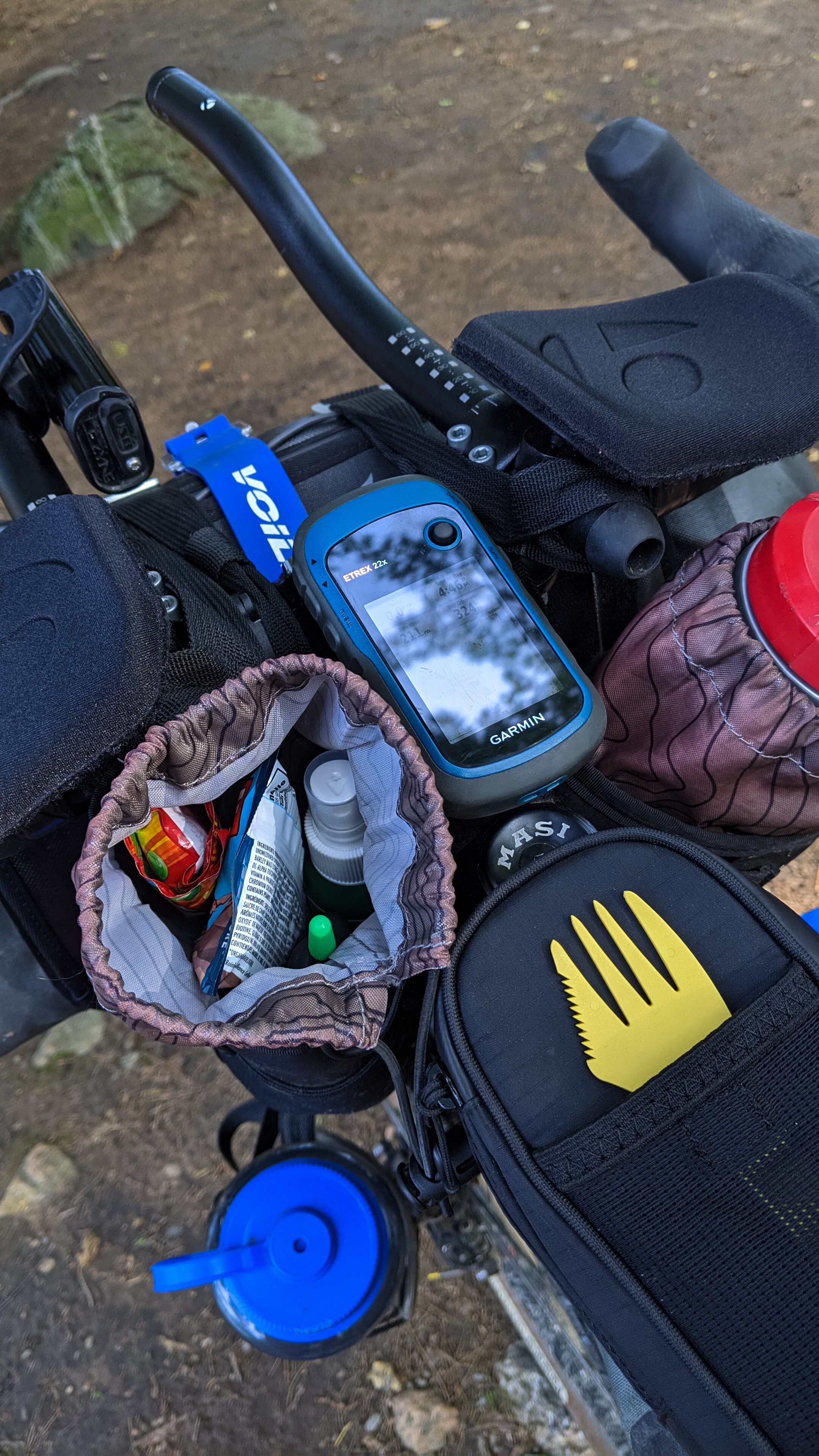
We tend to resupply at every opportunity. Typically when we start from home we have a lot of homemade snacks (see the energy balls on the website) and sandwiches etc. This past year because of Covid we didn’t eat in restaurants but we did buy take-out from some and ate on patios. We usually carry a spare muesli breakfast, and some commercial energy bars, and a dried supper in the bottom of our bags just in case. It is usually pretty easy to get to reasonably sized grocery stores when you need to. We cook suppers on an alcohol stove which suits us. If you were going fast you wouldn’t want to do that, but there is often a fast-food restaurant. Our best discovery last year was one of those flexible water filter bottles. We would recommend one of those (and no we are not sponsored!)
Photos courtesy of Matt Bawtinheimer
MK: For people who may be doing a longer route like this for the first time, is there any packing advice you would give them?
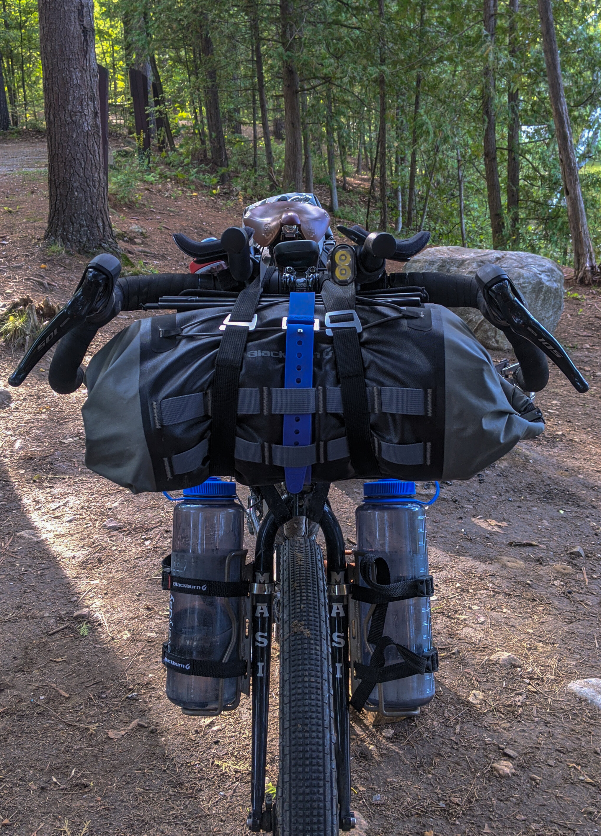
Eric: It is always a good idea to test your gear out on a shorter trip or trips to find gaps or redundancies. How you pack is also going to depend on what your goal is. If you are taking a more relaxed approach you will probably want to have a set of sandals for the evening and comfortable clothes. If you are trying to do it in the shortest time possible then go with what you know works well.
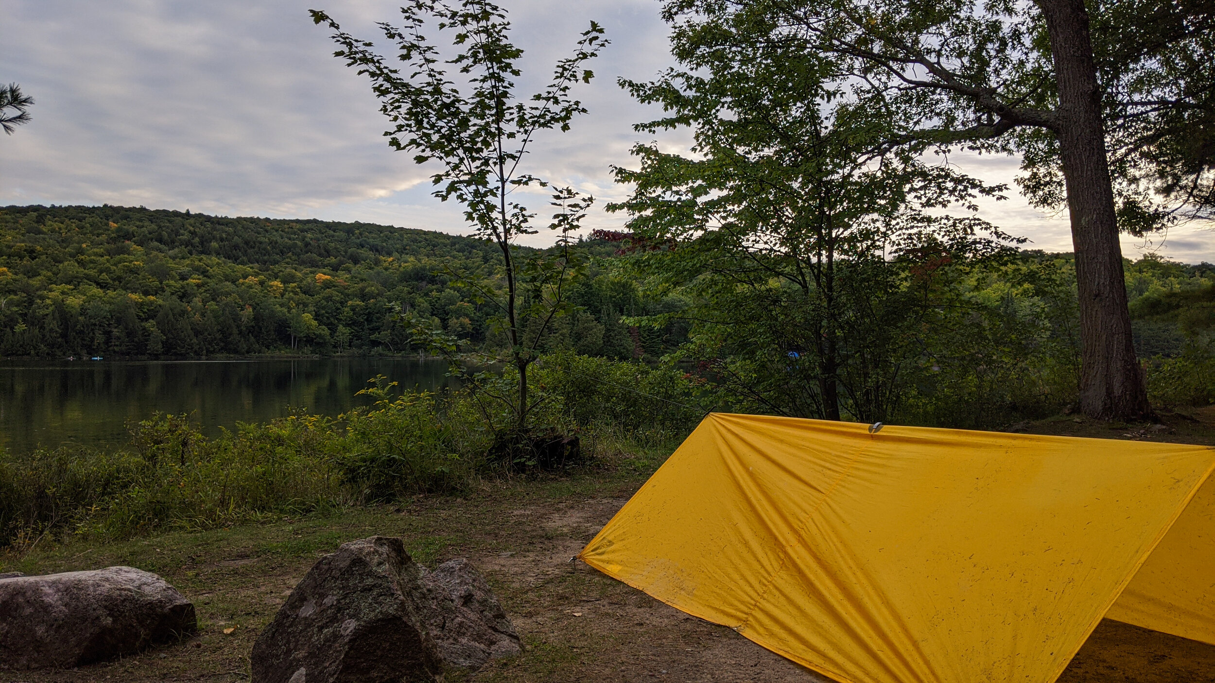
Go as light as is feasible. You don’t want to be underprepared, but there is a lot of climbing. Superfluous gear is not your friend. Pay attention to the weather and season. If you go before July expect blackflies and mosquitoes. A tent with a screen is in order. You really need to be self-sufficient for the Sharbot Lake to Calabogie section especially.
There are areas in Lanark and in the Gatineau Valley sections of the route where there is no cell service. Some people may want to carry a SPOT or similar. Bike shops are very scarce so don’t count on being able to buy spare parts.
MK: What’s the food situation like on the route in terms of restocking points or even roadside eating? Any local food stops that riders should be on the lookout for?
Eric: These are all places that are right on the route. All had takeout or open-air patio last summer
Cranberry Cafe in Sharbot Lake, Wakefield Bakery for sausage rolls or/and pastries, Lello’s Pizza and Shawarma in Shawville, Cartrites in Shawville, Redneck Bistro in Calabogie, Calabogie Brewing in Calabogie, Quitters Cafe in Stittsville, Les Saisons Cafe in Old Chelsea, Junction Restaurant in Campbell’s Bay, Fitz’s Fresh Cut Fries in Lanark.
MK: What have you learned about yourself in the adventures you take on the bike?
Eric: It sounds trite, but sometimes you have to just ride
MK: Do you see yourselves establishing more routes around Ontario and Quebec?
Eric: Yes, but not just for the sake of it. Once we have a few more 2-4 day routes in play then we might go and explore some territory that is new to us.
MK: What are you most excited about for the upcoming year in your own life and the LDW?
Eric: There is interest in the Petits Departs concept for this year. I think it will give us a chance to get feedback from a larger group of riders. These things are never really done, but again we aren’t going to modify it just because. What we really would like to see is a diverse population on our sign-up sheet and Wall of Fame Page on the website. We really want to hear stories from people who have tried any of the routes.
We have plans for a Grand Depart for 2022. Stay tuned!
This summer we really want to go and ride. Perhaps a planned route, but likely an exploration without an agenda.
MK: Sounds great! Its been a pleasure getting to know you and the route better.
FOR MORE INFORMATION on the route:
web: logdriverswaltz.ca
instagram: @thelogdriverswaltz
facebook: LDWBikepacking
Maple Apple Balls - Official Snack Of The LDW
Here is the official energy food snack of the Log Driver's Waltz. Take these along to fuel your bikepacking adventure and you'll end up feeling like it's time to do the sugar shack shuffle.
(Balls created by Matthew Kadey)
1 cup pitted dates
1 cup oat flakes
1 cup pecans
1 cup baked dried apples (the crunchy type not the soft type)
1/4 cup maple syrup, preferably dark grade
1 teaspoon vanilla extract
1 teaspoon cinnamon
1/8 teaspoon salt
Place dates in a bowl and soak in warm water for 20 minutes. Drain and pat away excess moisture with a paper towel.
In a food processor, blend together oats, pecans and dried apple into small pieces. Add drained dates, maple syrup, vanilla, cinnamon and salt; blend until mixture sticks together. Roll into 1-inch balls. You should get about 14 balls.


